


Shaping India's Drone Future Through Education, Research & Indigenous Innovation


Why IIDT?


Research-Backed Learning
Trained on technology IIDT is actively developing — including indigenous flight controllers and mission planning software — not just third-party drones.
Live Project Exposure
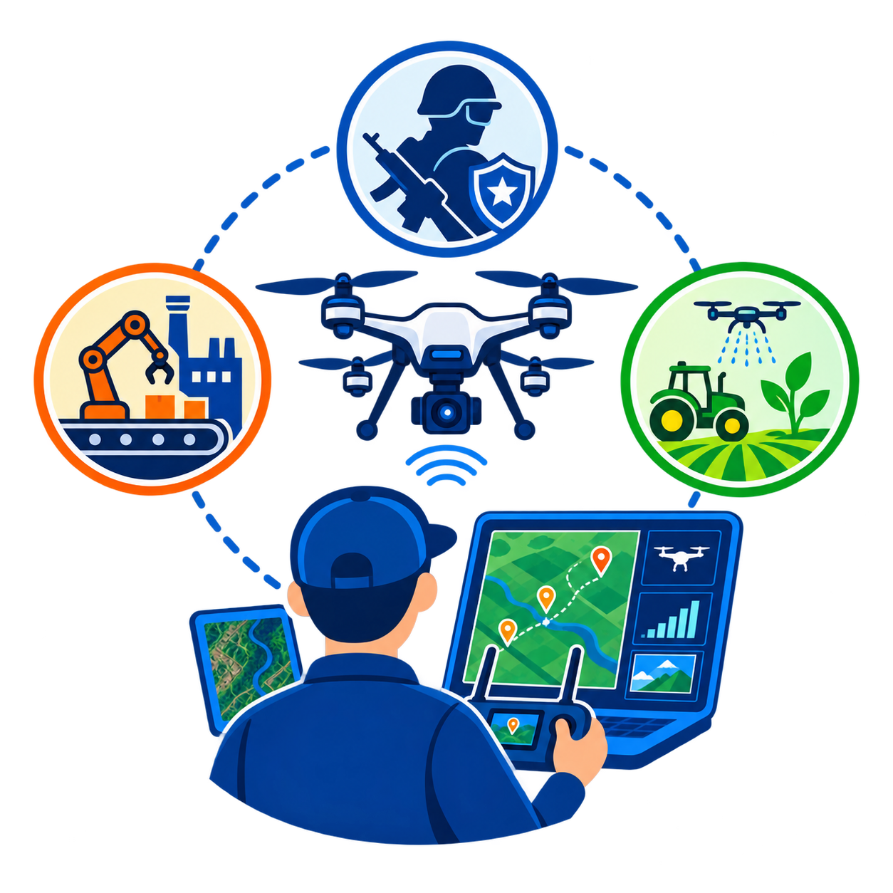
Structured access to ongoing IIDT and Prakhar projects across defence support, manufacturing, and agriculture.
Government & Defence Trained
Curriculum and instructors already trusted by the Indian Armed Forces, MSME, and DGCA.
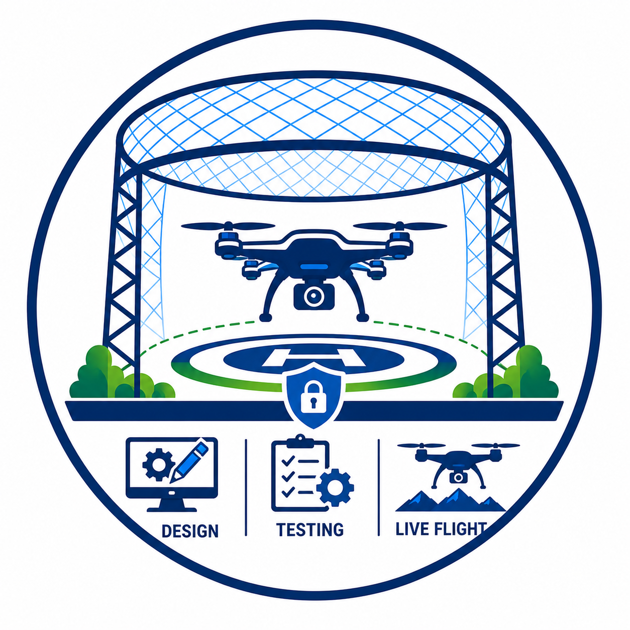
India's Largest Netted Flying Zone
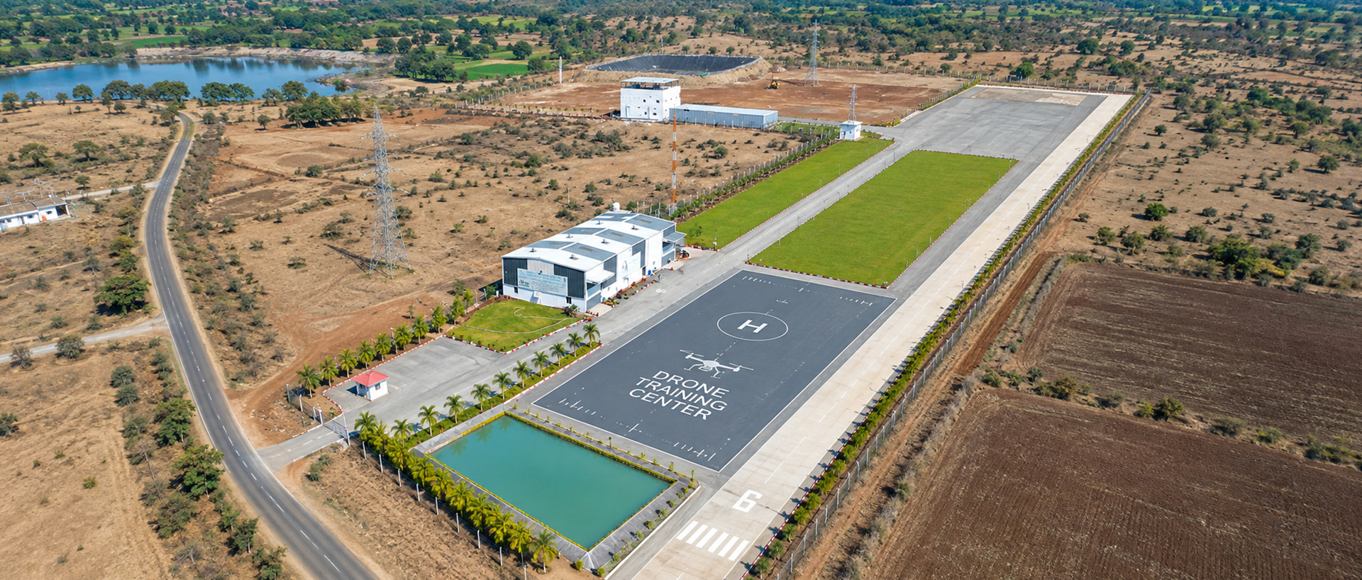
A dedicated, secured campus built for the complete drone lifecycle — design, testing, and live flight.
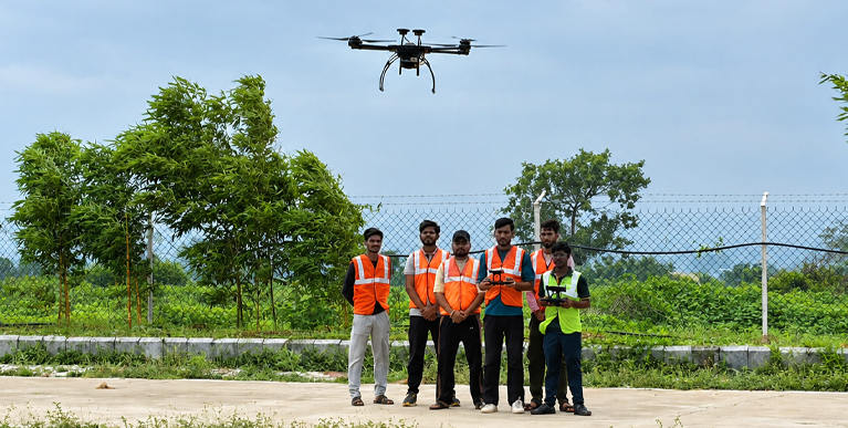
What IIDT Is?
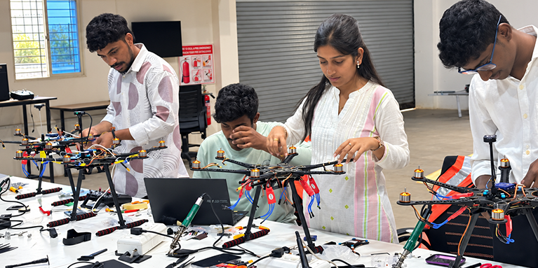
Indian Institute of Drone Technology (IIDT), is one of India's leading institutes for drone education, training, and research. Positioned at the intersection of academia, industry, and government, IIDT supports India's push toward self-reliance, Aatmanirbhar Bharat, and its ambition to become a global hub for drone technology.
As drones move rapidly into defence, agriculture, healthcare, and environmental conservation, IIDT is building a future-ready drone ecosystem that brings education, research, innovation, industry collaboration, and skill development under one roof.
IIDT operates as a specialised institute under Prakhar Software Solutions Limited (PSSL), bringing over a decade of experience in technology and government project execution into the field of drone education.
INDIAN INSTITUTE OF TECHNOLOGY (IIDT)

INDIAN INSTITUTE OF TECHNOLOGY (IIDT)
INDIAN INSTITUTE OF TECHNOLOGY (IIDT)
INDIAN INSTITUTE OF TECHNOLOGY (IIDT)
INDIAN INSTITUTE OF TECHNOLOGY (IIDT)
INDIAN INSTITUTE OF TECHNOLOGY (IIDT)
INDIAN INSTITUTE OF TECHNOLOGY (IIDT)
INDIAN INSTITUTE OF TECHNOLOGY (IIDT)
INDIAN INSTITUTE OF TECHNOLOGY (IIDT)
INDIAN INSTITUTE OF TECHNOLOGY (IIDT)
INDIAN INSTITUTE OF TECHNOLOGY (IIDT)
INDIAN INSTITUTE OF TECHNOLOGY (IIDT)
INDIAN INSTITUTE OF TECHNOLOGY (IIDT)
INDIAN INSTITUTE OF TECHNOLOGY (IIDT)
INDIAN INSTITUTE OF TECHNOLOGY (IIDT)
INDIAN INSTITUTE OF TECHNOLOGY (IIDT)
INDIAN INSTITUTE OF TECHNOLOGY (IIDT)
INDIAN INSTITUTE OF TECHNOLOGY (IIDT)
INDIAN INSTITUTE OF TECHNOLOGY (IIDT)
INDIAN INSTITUTE OF TECHNOLOGY (IIDT)
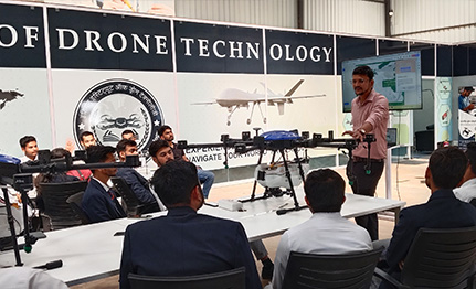
UAV Foundation Course
Kickstart your Drone journey with comprehensive training in UAV operations, safety protocols, and flight mechanics. The UAV Foundation Course builds a strong technical base, preparing you for advanced training and real-world applications across industries.
Course Fee
Enroll Now
33,333.00
25,000.00
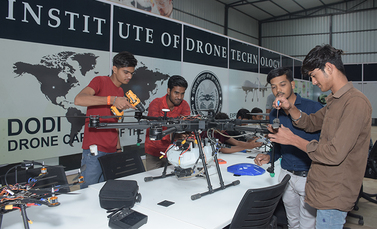
Drone Repair & Maintenance
Ensure peak UAV performance with UAV Repair and Maintenance Training, covering troubleshooting, diagnostics, and repairs. The Drone Repair & Maintenance course equips you with hands-on skills from Drone Maintenance Courses , including component replacement and repair solutions for drone-dependent industries.
Course Fee
Enroll Now
120,000.00
90,000.00
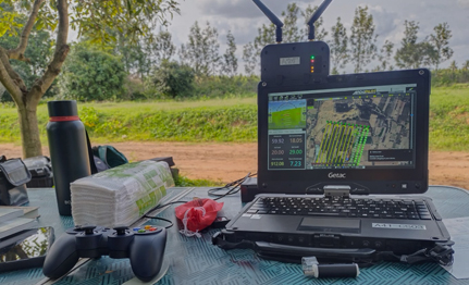
Data Acquisition & Processing
Master drone data collection and analysis for industries like agriculture, surveying, and research. The Data Acquisition & Processing course covers GIS software, data interpretation, and actionable insights, equipping you with hands-on expertise for real-world decision-making and data management.
Course Fee
Enroll Now
120,000.00
90,000.00
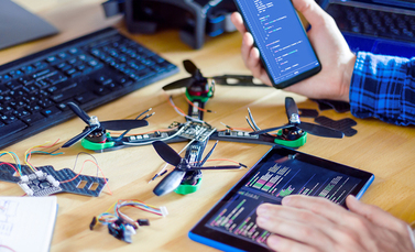
Drone Programming & Automation
Unlock the future of UAVs with a Drone Programming & Automation course. Learn to code autonomous drones, integrate APIs, and develop automation solutions for real-world applications. Gain hands-on expertise, industry-relevant skills, and practical knowledge to excel in the fast-growing drone sector.
Course Fee
Enroll Now
33,333.00
25,000.00
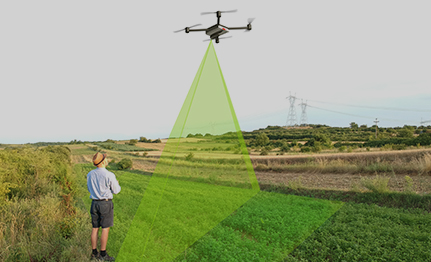
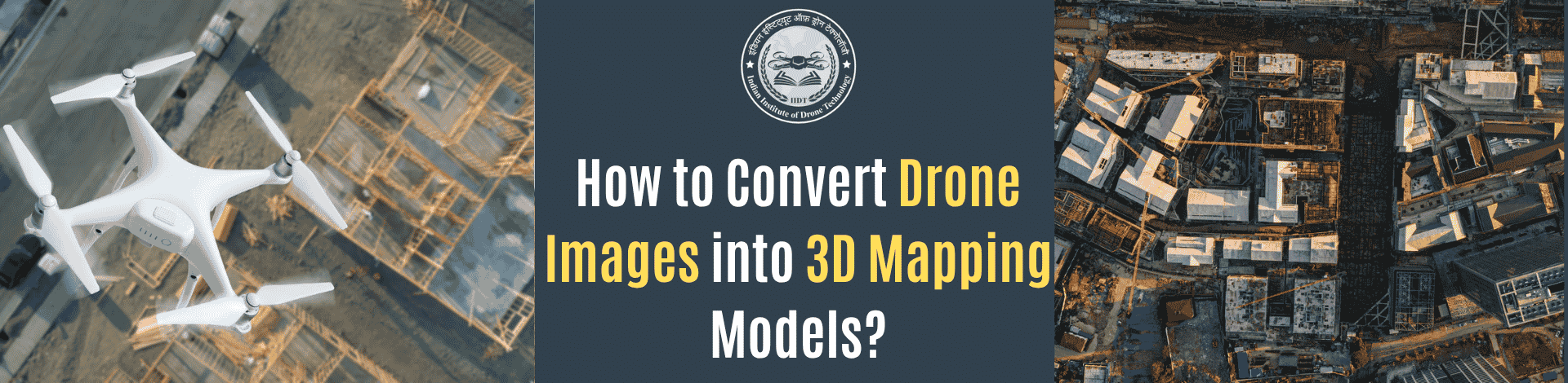
Drone Mapping & Geospatial Technologies
Master aerial mapping with the Drone Mapping & Geospatial Technologies course. Learn to create precise maps, 3D models, and analyze geospatial data using advanced tools like Pix4D and Agisoft Metashape. You will also gain expertise for applications in urban planning, agriculture, and infrastructure.
Course Fee
Enroll Now
120,000.00
90,000.00
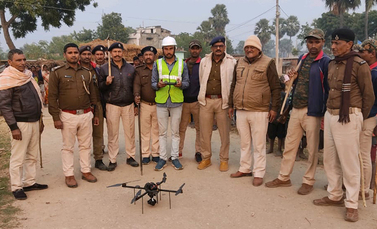
Drone Surveillance & Security
Master real-time surveillance, automated UAV patrols, and secure video streaming with the Drone Surveillance & Security course Ensure compliance with safety regulations, enhance operational efficiency, and earn a Drone Safety Certification to operate drones responsibly and advance your career in drone security.
Course Fee
Enroll Now
33,333.00
90,000.00
Apply Today Now
Admissions Open Now
Start your academic journey with a university committed to excellence, innovation, and student success.